Storm Boelo Threatens Scotland with Travel Chaos This Weekend
Amber and yellow weather warnings issued for wind and rain, with significant disruption expected across road, rail, air, and ferry services.
By Kirsty Lennox
••3 min read
AI
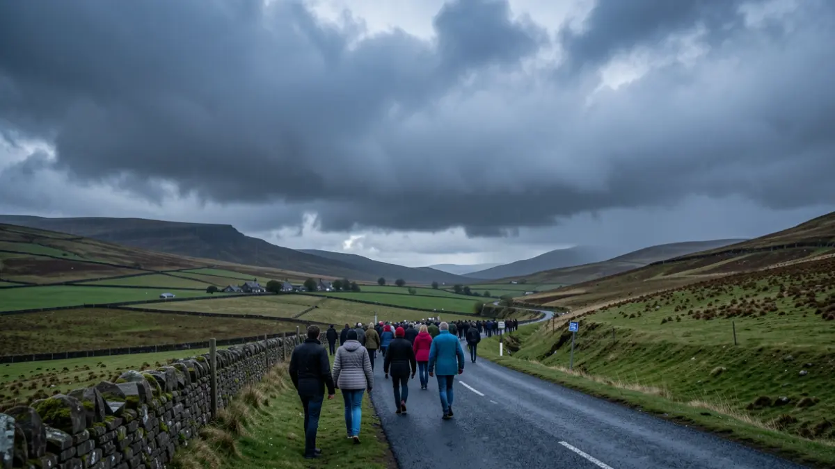
Generic image of dramatic storm clouds gathering over a Scottish landscape with rolling hills and a winding road, cool northern light, hints of heavy rain.
Scotland is set to face significant travel disruption this weekend as Storm Boelo brings strong winds and heavy rain, prompting amber and yellow weather warnings across the country.
The Met Office has issued an amber warning for wind affecting Scotland from 9pm on Saturday, 24 October, until 9pm on Sunday, 25 October. A yellow warning for wind remains in place across the whole of mainland Scotland, the Western Isles, and Orkney throughout Sunday.
Road, rail, air, and ferry services are all likely to be affected by the adverse conditions. Travellers can expect longer journey times and potential cancellations, with restrictions possible on bridges and other exposed routes. The strong winds could also lead to fallen trees, debris on roads, and localised power disruptions.
Police Scotland's travel advice highlights a high risk of disruption during the amber warning period. The Transport Scotland Resilience Room and Multi-Agency Response Team will be active to monitor conditions and coordinate responses across the transport network. Traffic Scotland will provide real-time updates.
“
"The Met Office has upgraded its warning for Storm Boelo with disruptive winds and heavy rain expected to impact most of Scotland this weekend. While the most severe conditions are expected within the amber warning area in the west of Scotland, a yellow warning remains in force across the whole country and travellers everywhere should be prepared for potential disruption."
Travellers are advised to check the latest weather forecast, monitor the Traffic Scotland website for trunk road updates, and follow transport operator channels for service information. Allowing extra time for journeys and heeding advice from Police Scotland and transport operators is crucial.
“
"The Amber warning for wind means there is a high risk of disruption on the road network and travel conditions may be hazardous. Our advice is to plan ahead and consider if your journey is really necessary or if it can be delayed until conditions improve."
Superintendent Barclay also warned that stopping distances can be at least double on wet roads and spray can reduce visibility. Drivers of HGVs and buses are urged to exercise extreme caution and be prepared to park if requested by police. He advised driving to the conditions and allowing extra time.
“
"It’s going to be a particularly wet and windy period over Friday and the weekend across Scotland as two named storms, Storm Austen and Storm Boelo, sweep their way across the UK and bring disruption. Sustained heavy and prolonged rain throughout Friday will lead to high river levels and possible flooding impacts quite widely across southern, central and eastern areas."
SEPA's Flood Duty Manager, Pascal Lardet, highlighted that sustained heavy rain on Friday could lead to high river levels and flooding impacts in southern, central, and eastern areas, as well as surface water flooding on roads. The stormy weather is expected to continue through Saturday with heavy rain affecting western and central Scotland, and potential localised flooding. Coastal flooding impacts are also possible for western areas due to large waves and rising tidal levels, particularly around the Firth of Clyde.
As Storm Boelo moves in on Saturday evening, widespread high winds and severe gales are anticipated in the north of Scotland. The amber weather warning for wind from Saturday evening until Sunday evening brings a risk of coastal flooding, with surface water and river flooding remaining a possibility.
SEPA urges the public to remain vigilant and stay updated on the latest information by checking their website and social media channels, as the flood risk will remain elevated throughout the weekend and into next week.
Based on information from the official source: The Highland Council (23/10/2026)